Illustrated maps can capture more than just a geographical area. They can be used to highlight the essence and character of a place, in a visually captivating way. They can guide users to hidden gems and educate with local facts. Good map design is not just for towns and tourist sites, they can also add huge value to events such a festivals where guests need to quickly get orientated and be informed.
At Overt we love combining clear topographic design with characterful illustrations to bring your map to life. We have helped town councils and business across the South West to put their unique place ‘on the map’.
We love ‘map chat’ so give us a call to discuss your ideas.
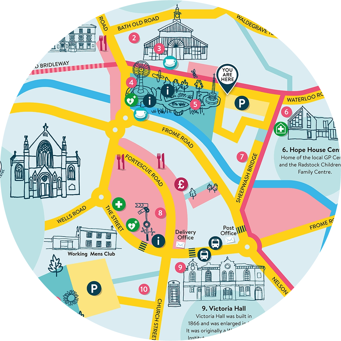
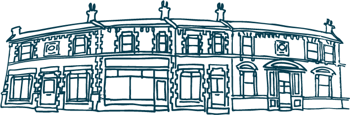
Town Map, Radstock
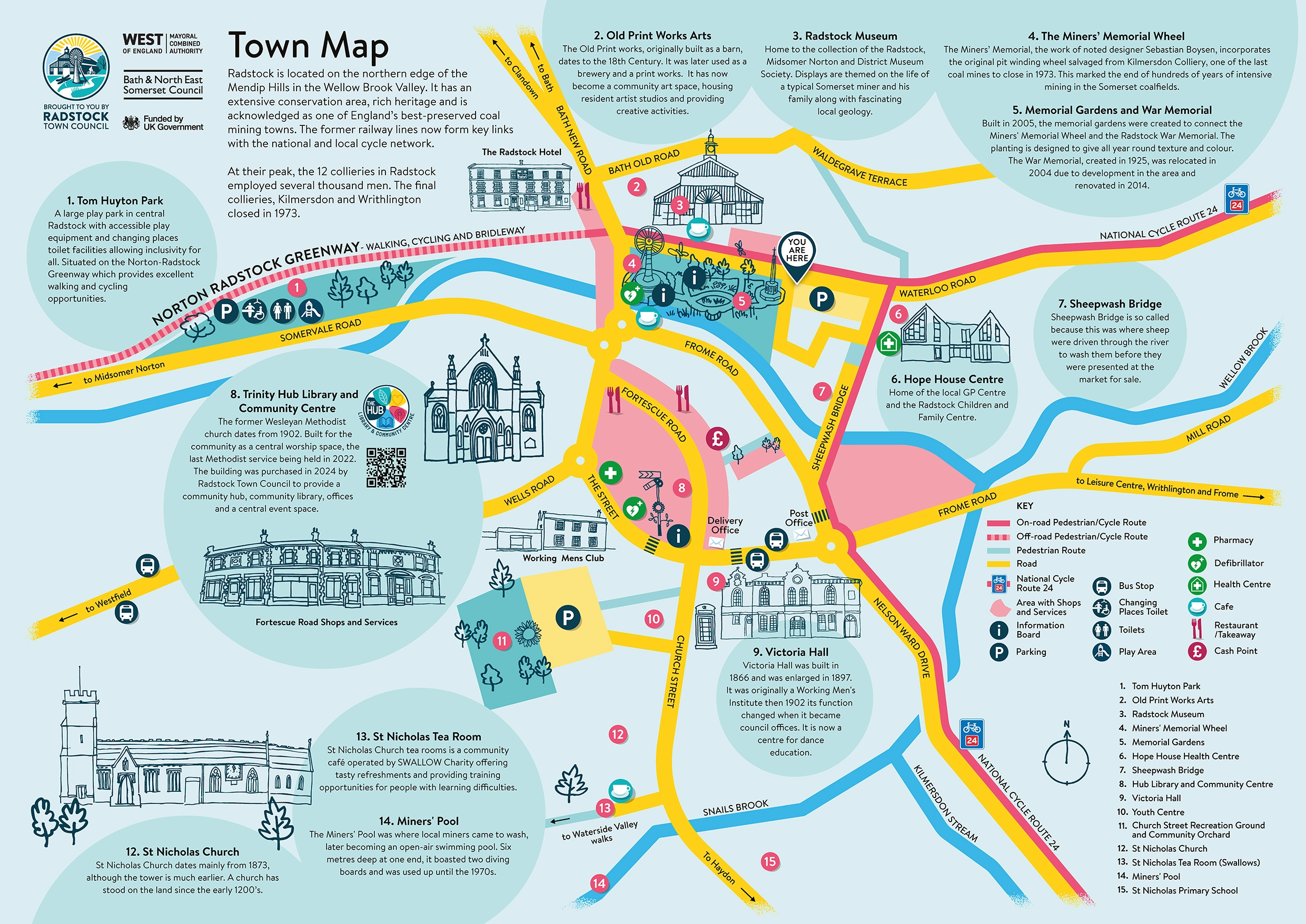
Town map design with bespoke illustrations for Radstock Town Council. The designs formed part of a full brand refresh including new logos and colour pallete.
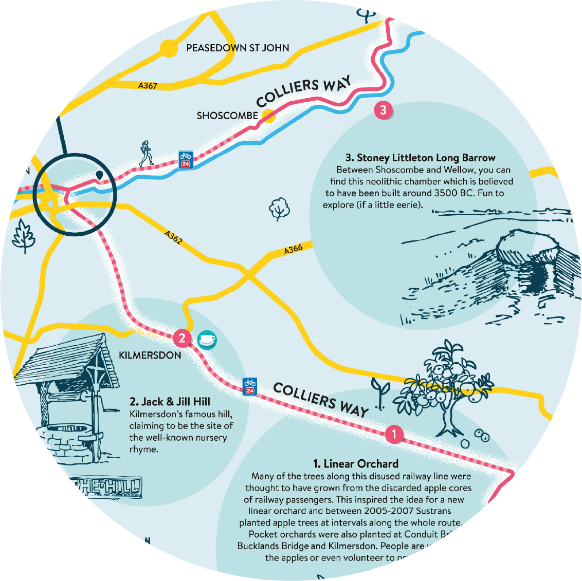
Walking & Cycling Maps for Bath and North East Somerset
Colliers Way Map
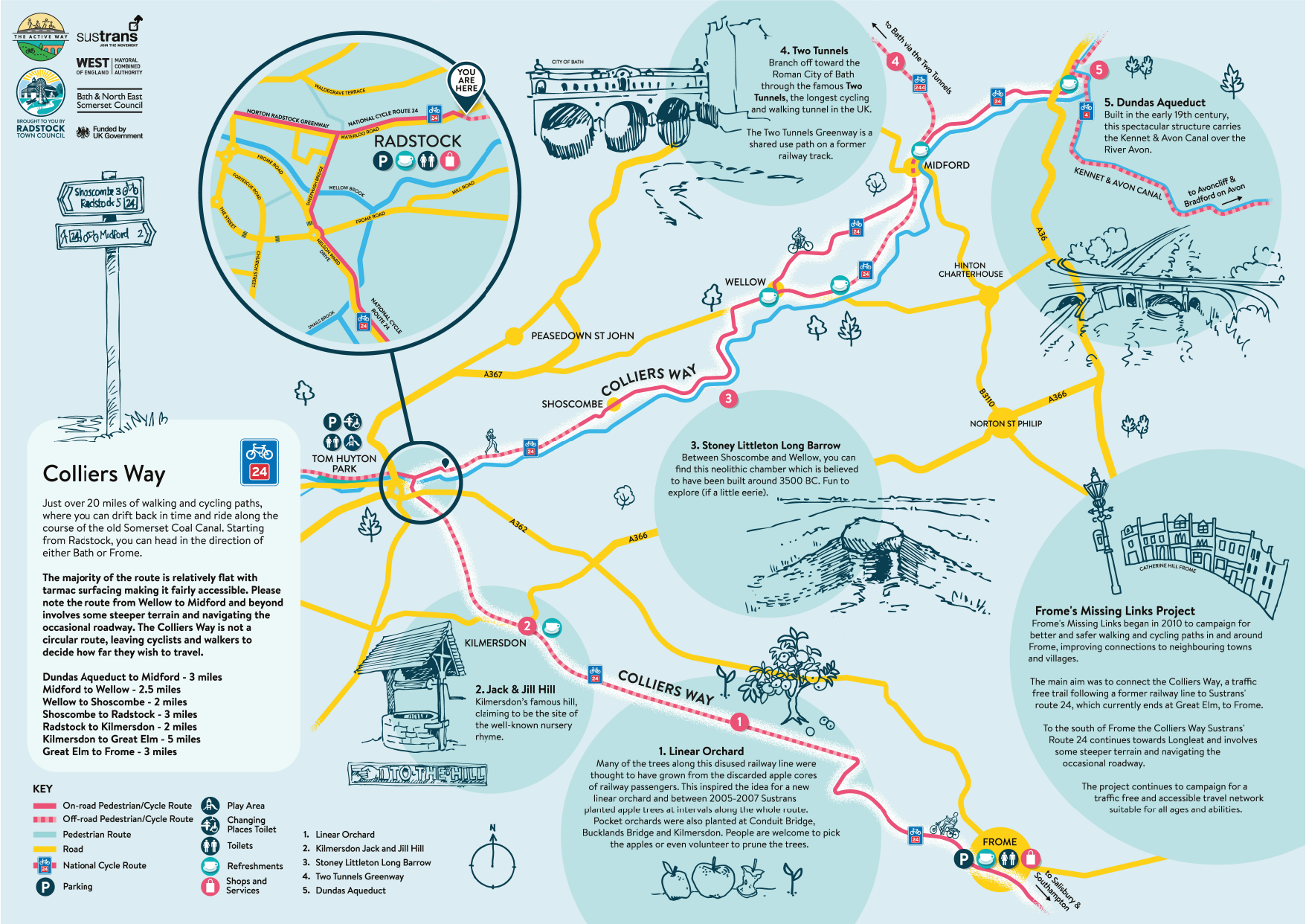
Map design with bespoke illustrations for Bath and North East Somerset Council and the Active Way focusing on highlights of the Colliers Way route from Bath to Frome and beyond.

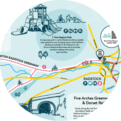
Norton Radstock and Five Arches Greenway Way Maps
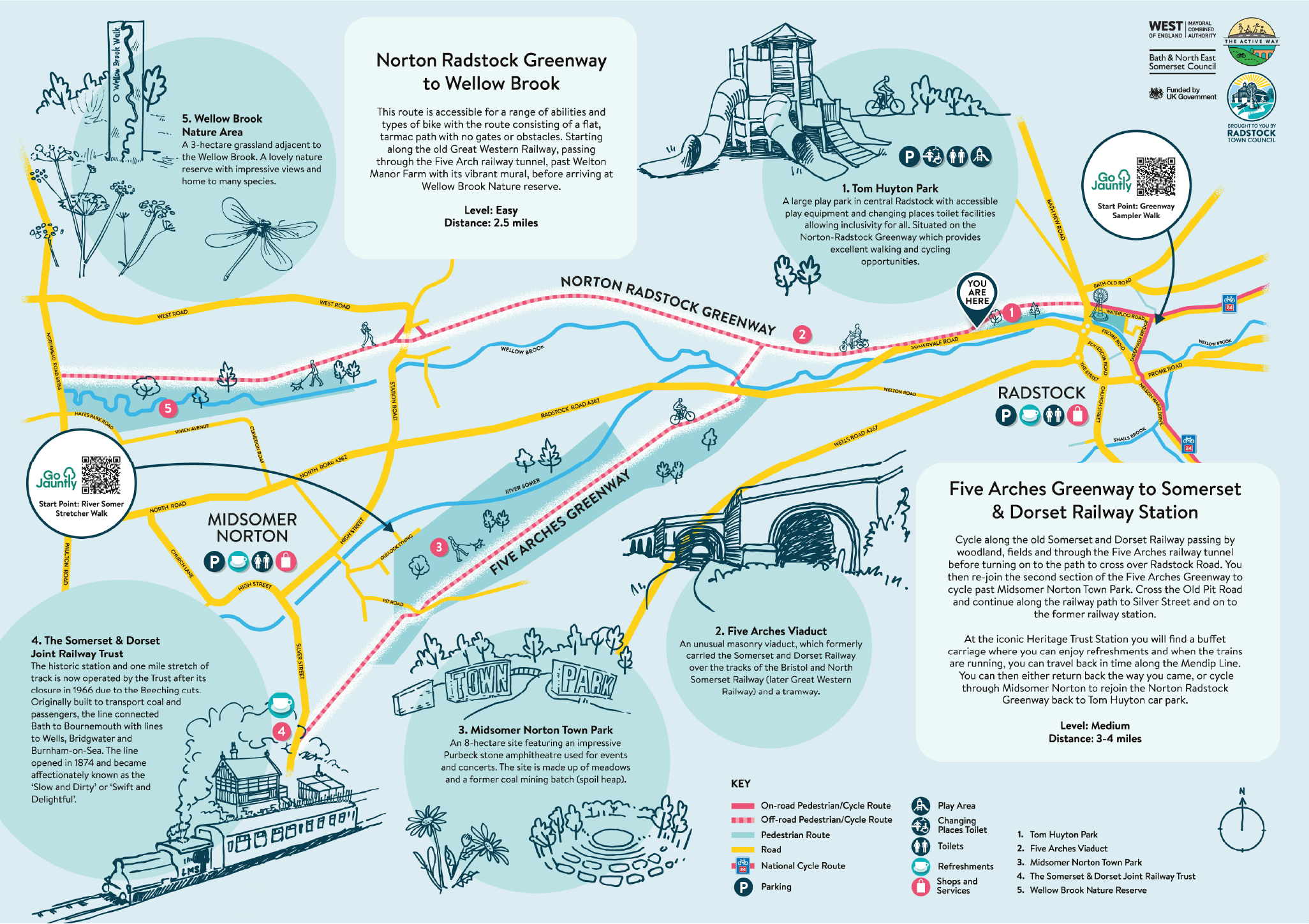
Map design with bespoke illustrations for Bath and North East Somerset Council and the Active Way featuring the Norton Radstock Greenway and Five Arches Greenway routes between Radtsock and Midsomer Norton.
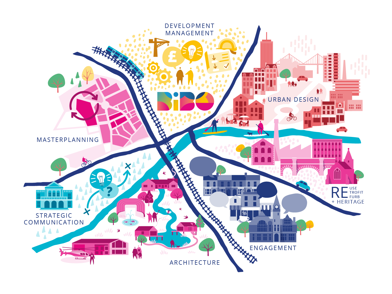
Map for BiBO architects
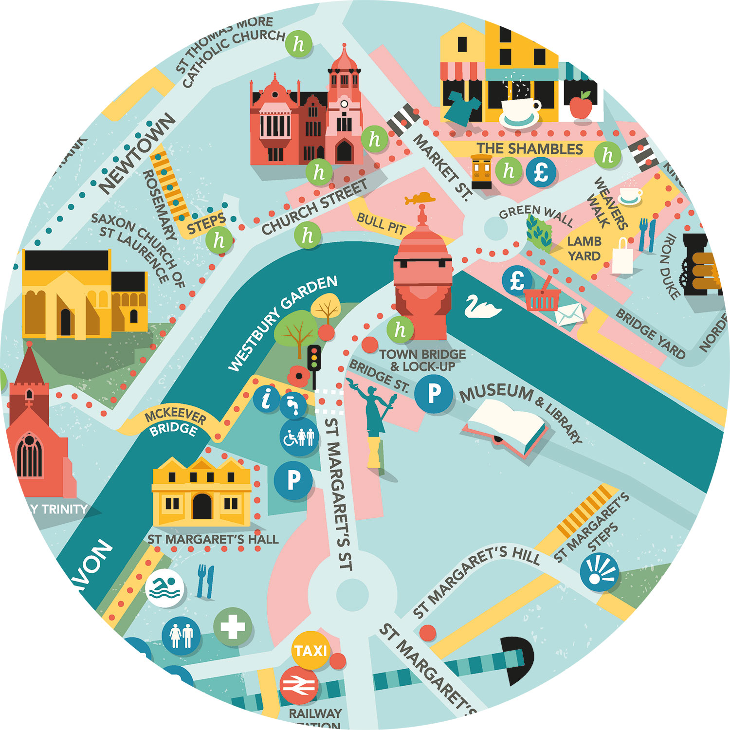
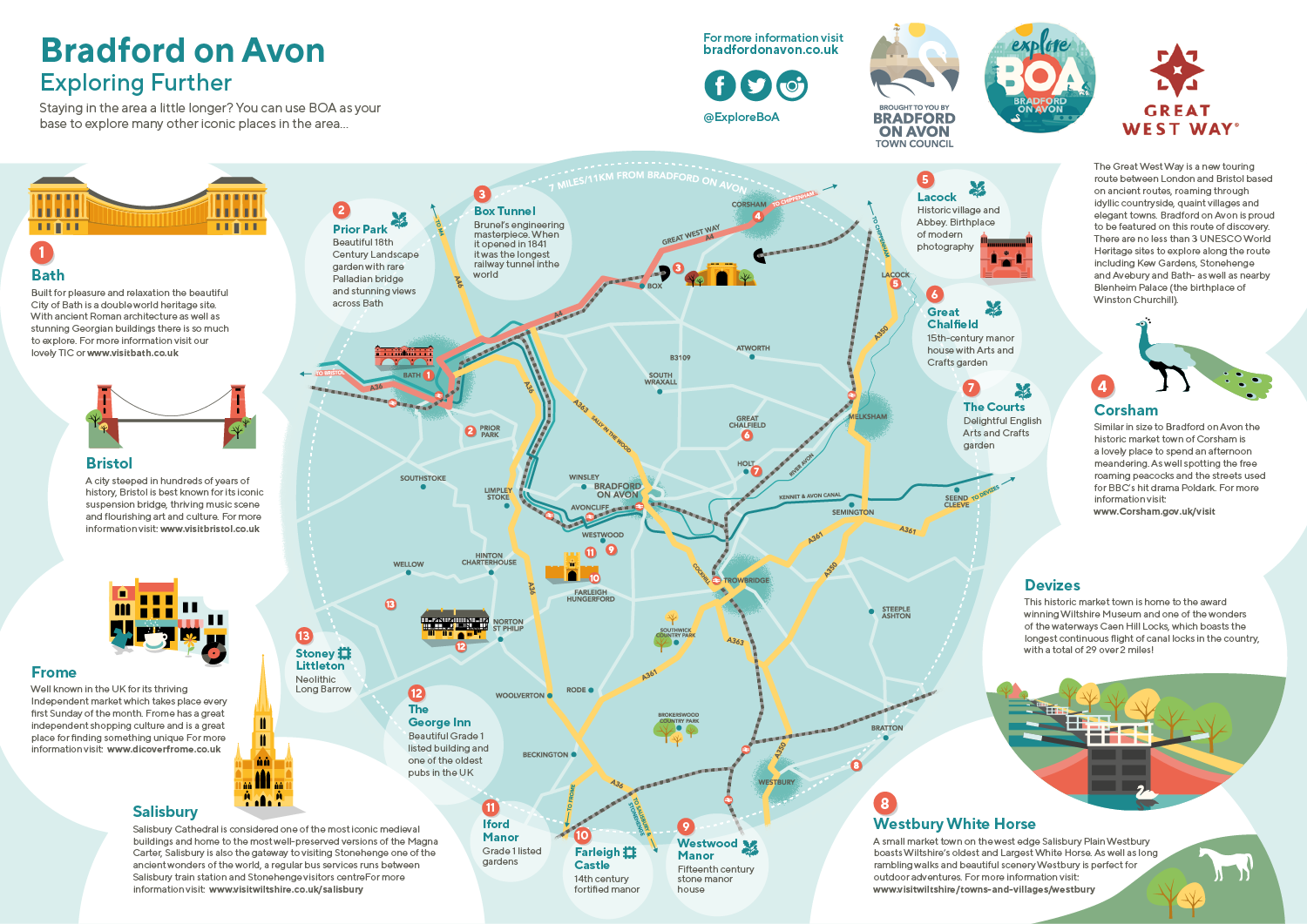
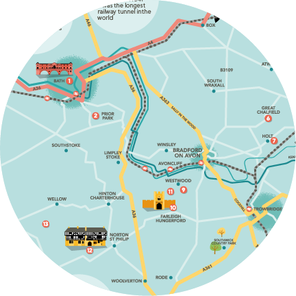
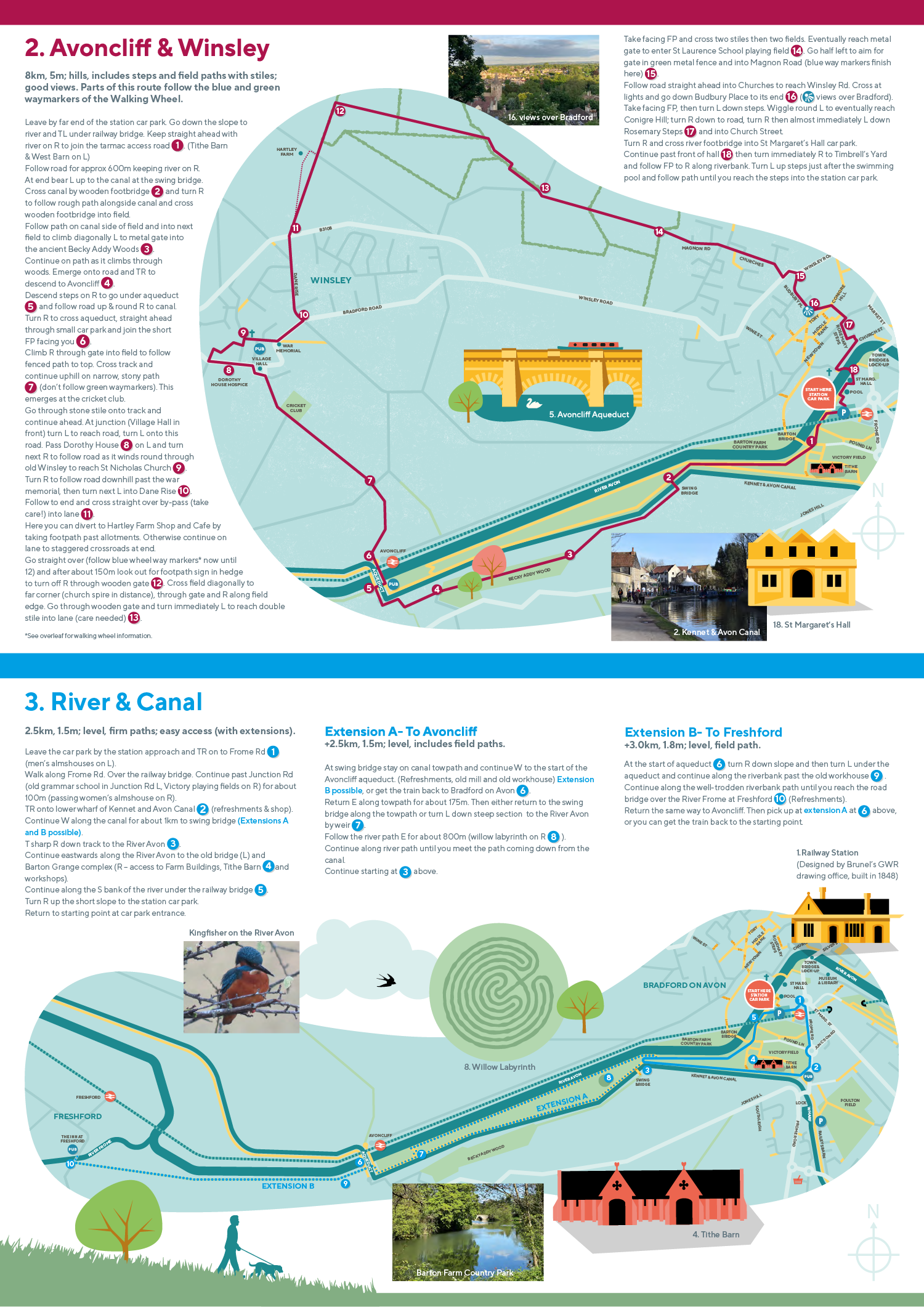
Maps for Bradford on Avon Town Council
Town Map
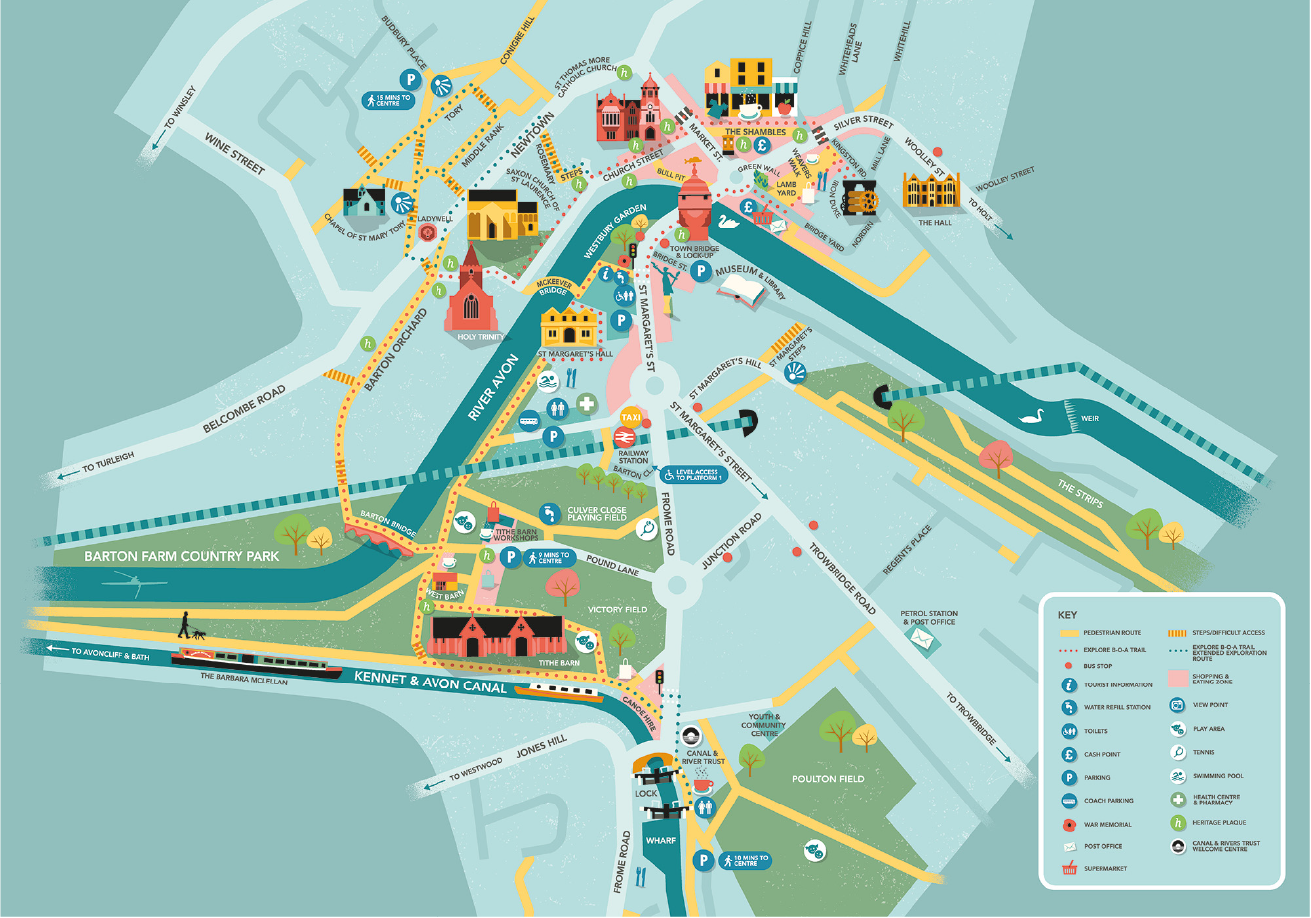
Map design with bespoke illustrations for Bradford on Avon Town Council. This was then developed by Marc Bessant design in to a visitor guide.
The Bradford on Avon map project then extended into an ‘exploring further’ map covering highlights of the surrounding area, and a walking map leaflet with guided routes around the town.

Explore Further map

Festival map for Varn
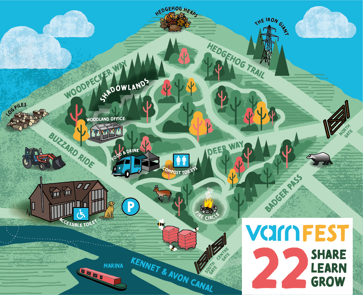
Illustrated map design for VarnFest, an annual business festival run by Varn Media.

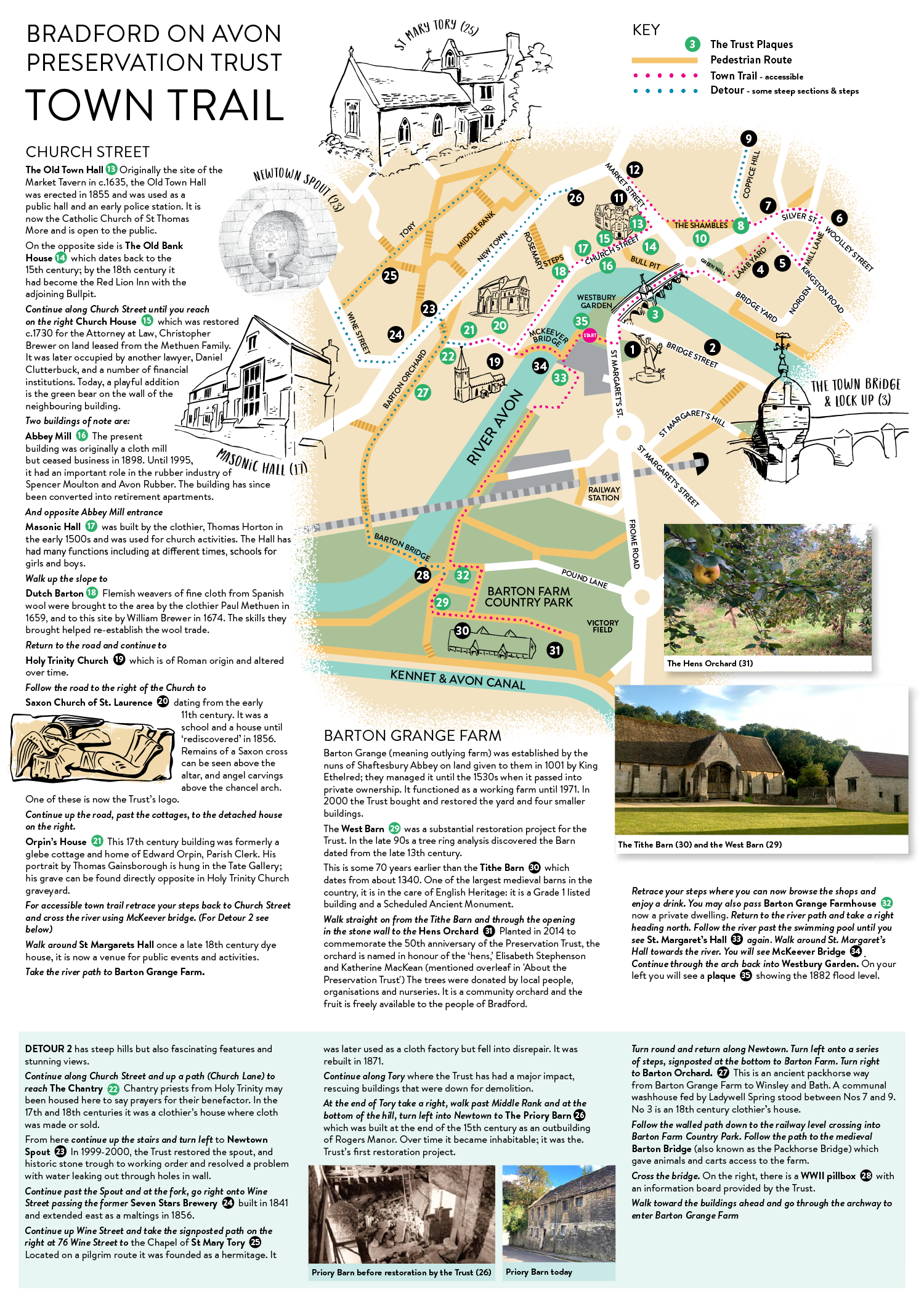
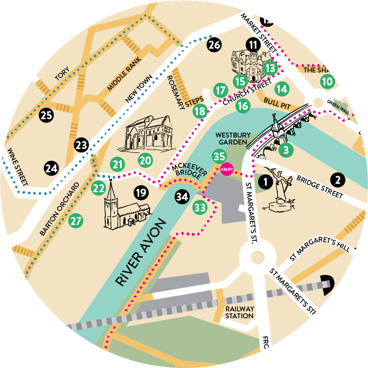
Map for Bradford on Avon Preservation Trust